CHALLENGE
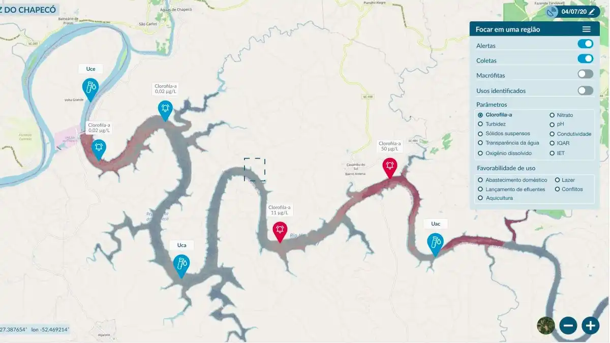
The project involves not only the development of the system, but also the collection of data and all the necessary steps to adjust and validate specific models for the Foz do Chapecó reservoir. With regard to the customization of models for the reservoir, one of the main challenges is obtaining the in situ data needed to adjust and validate the models, which must be concurrent with the satellite passes and follow an acquisition protocol aimed at data quality. With regard to the development of the system, the main challenge is related to the diversity of technologies being used in the project, such as cloud storage and processing, satellite image processing, integration of data from different formats, and development of a web interface for data visualization and consultation.
DEVELOPMENT
The system was developed in the Python language using different cloud computing and storage services offered by Amazon Web Services (AWS). The following technical requirements were considered for its development: (1) operational monitoring capacity, (2) automated processing, (3) customizable, (4) scalable and (5) user-friendly with different levels of access. For the pilot application in the Foz do Chapecó reservoir, the models for estimating water quality parameters were adjusted and validated based on data collected in the field, in the reservoir itself.
RESULT
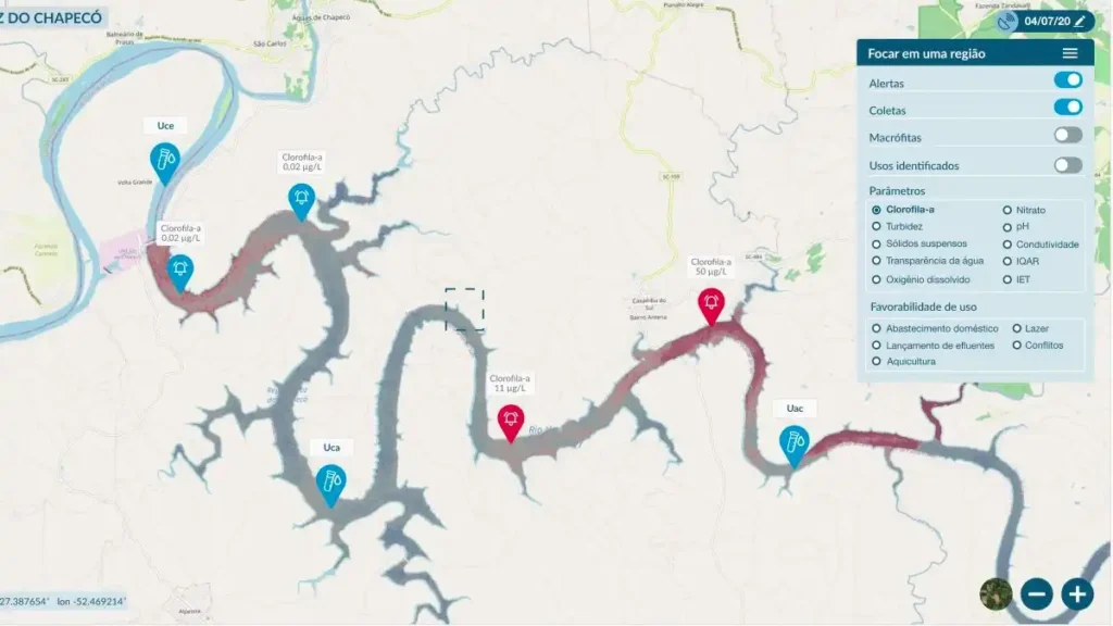
The main result of the project is a system for remote monitoring of water quality in hydroelectric reservoirs, based on multispectral images collected by satellites and cloud storage and computing techniques. The system can be customized to monitor various parameters that are required by Brazilian standards (e.g. CONAMA resolution 37/2005 and joint ANEEL/ANA resolution 03/2010). In addition, the system supports the insertion of data obtained in situ to complement remote monitoring, as well as allowing the calculation of indicators and the issuing of alerts.


